.png)
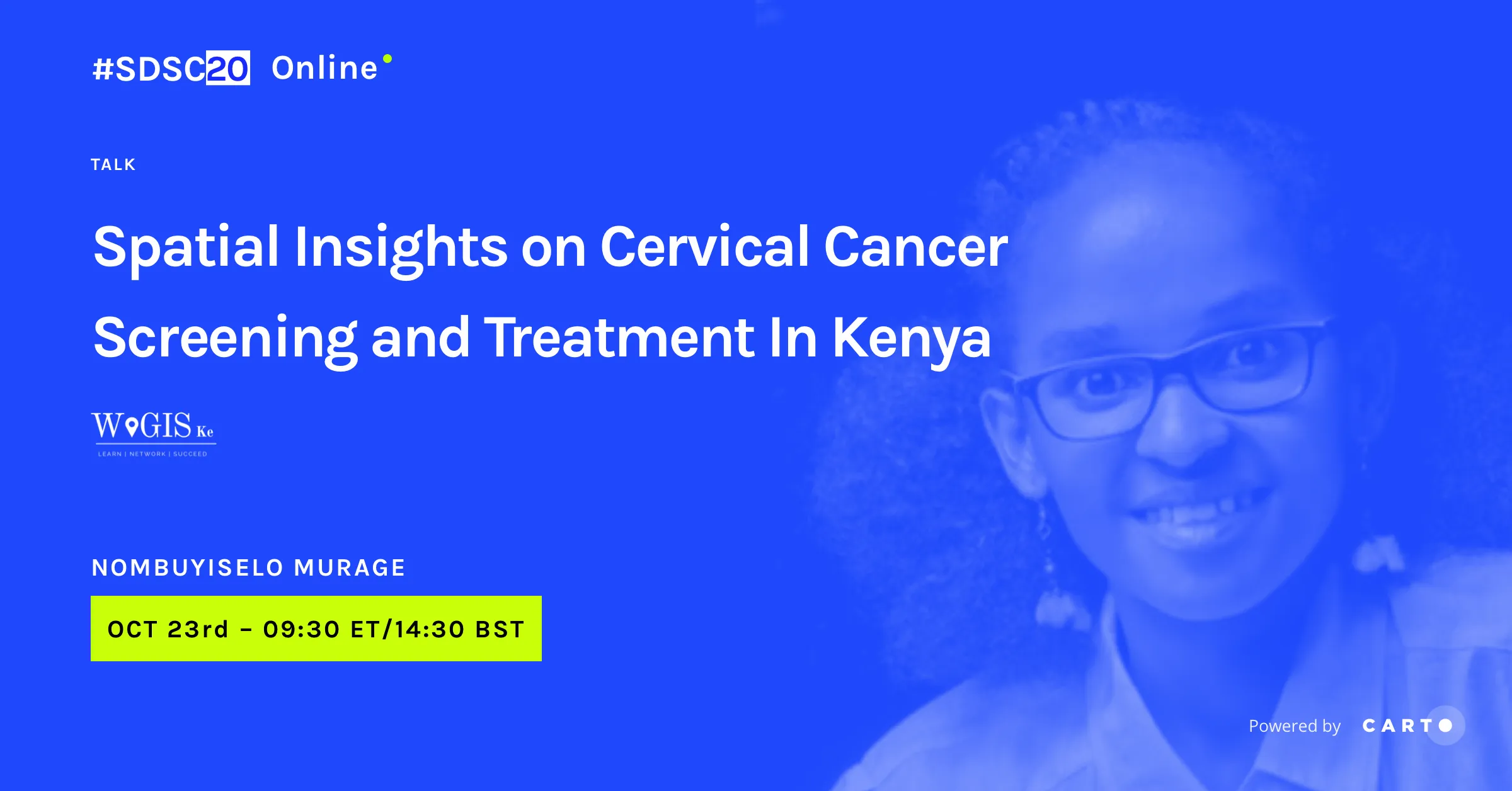
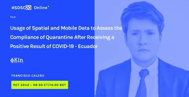
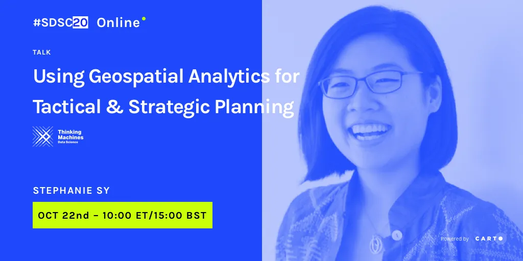
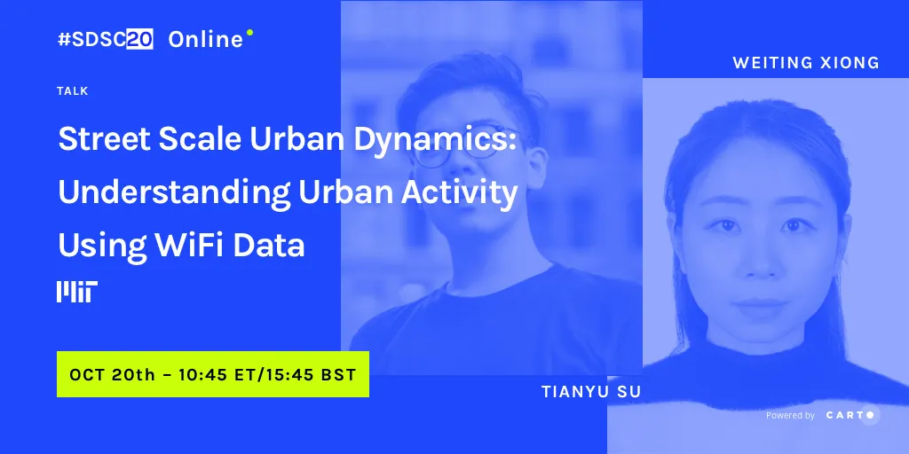
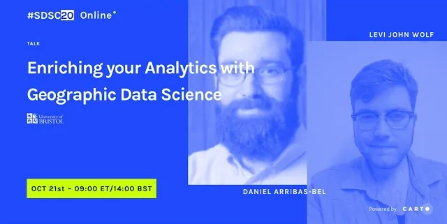
Problem solvers from Data Science, GIS and Analytics communities came together in a virtual event to look at 38 different spatial analysis projects in the private and public sectors, as well as non-profits and academia. We looked at new types of location data, innovative spatial modeling techniques as well as best practice for sharing location-based insights.
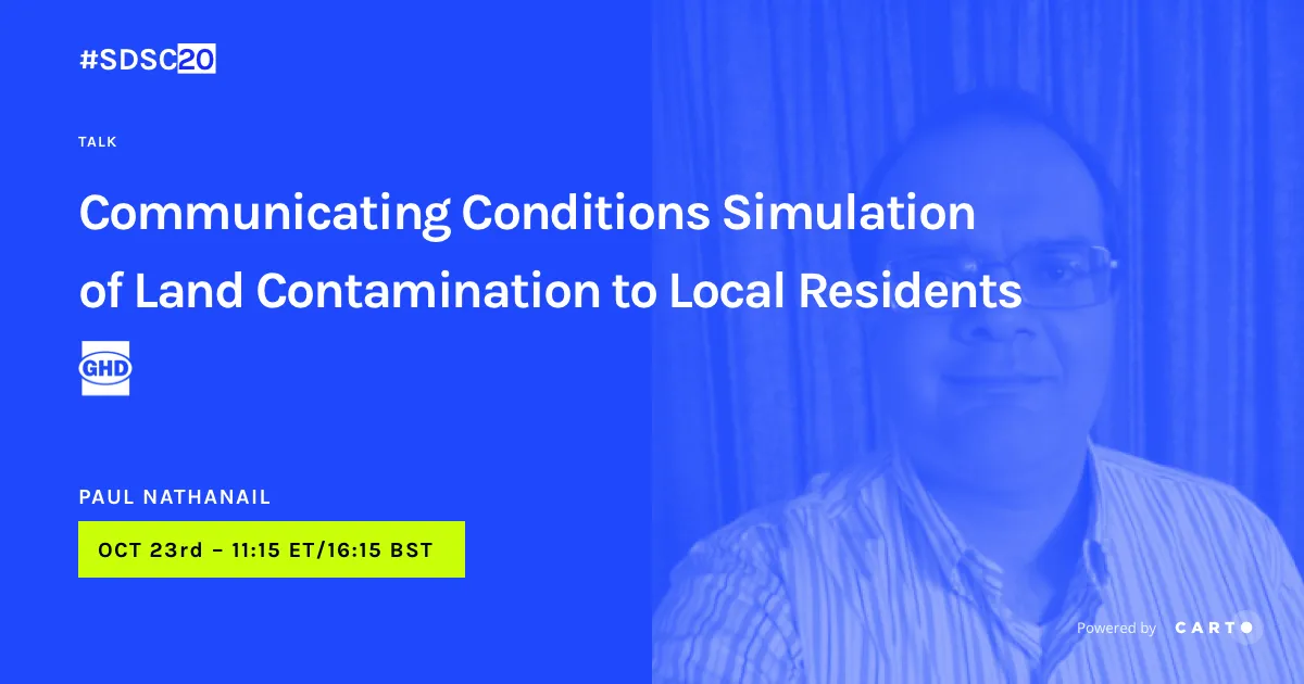
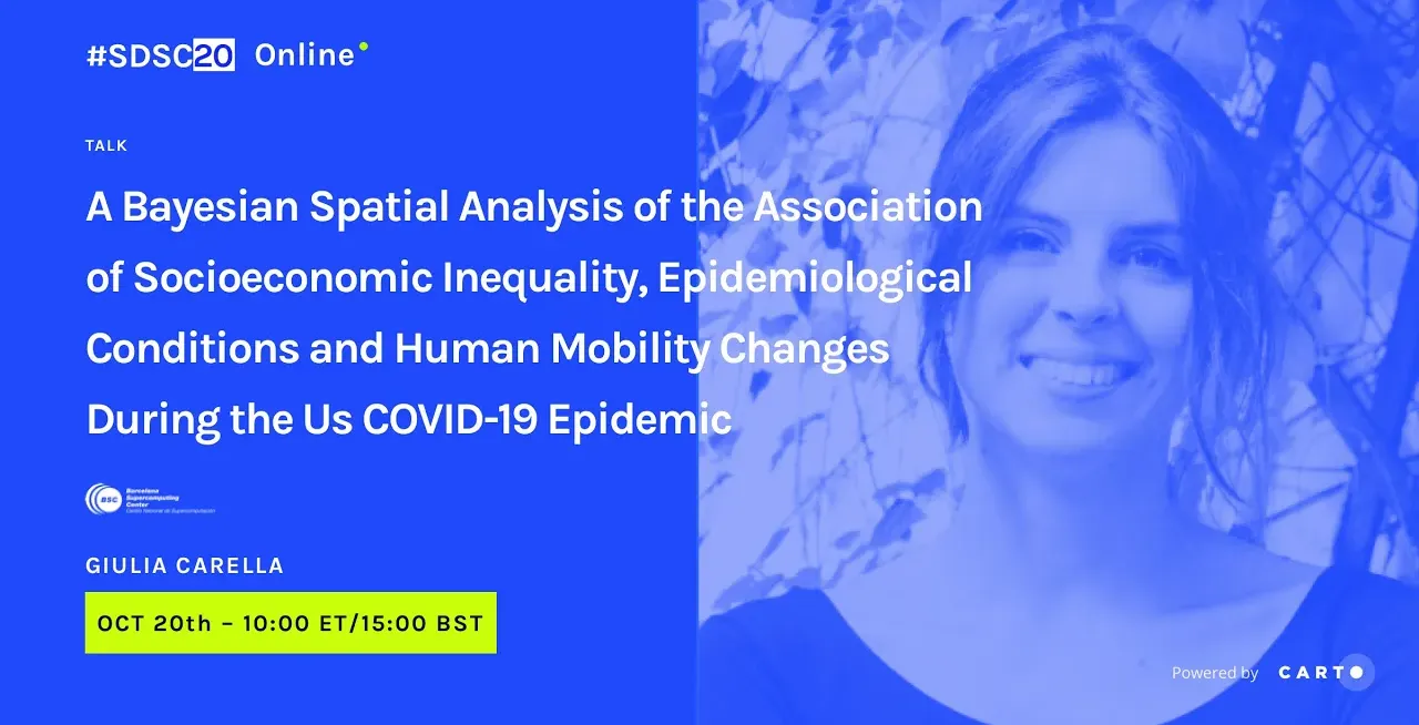
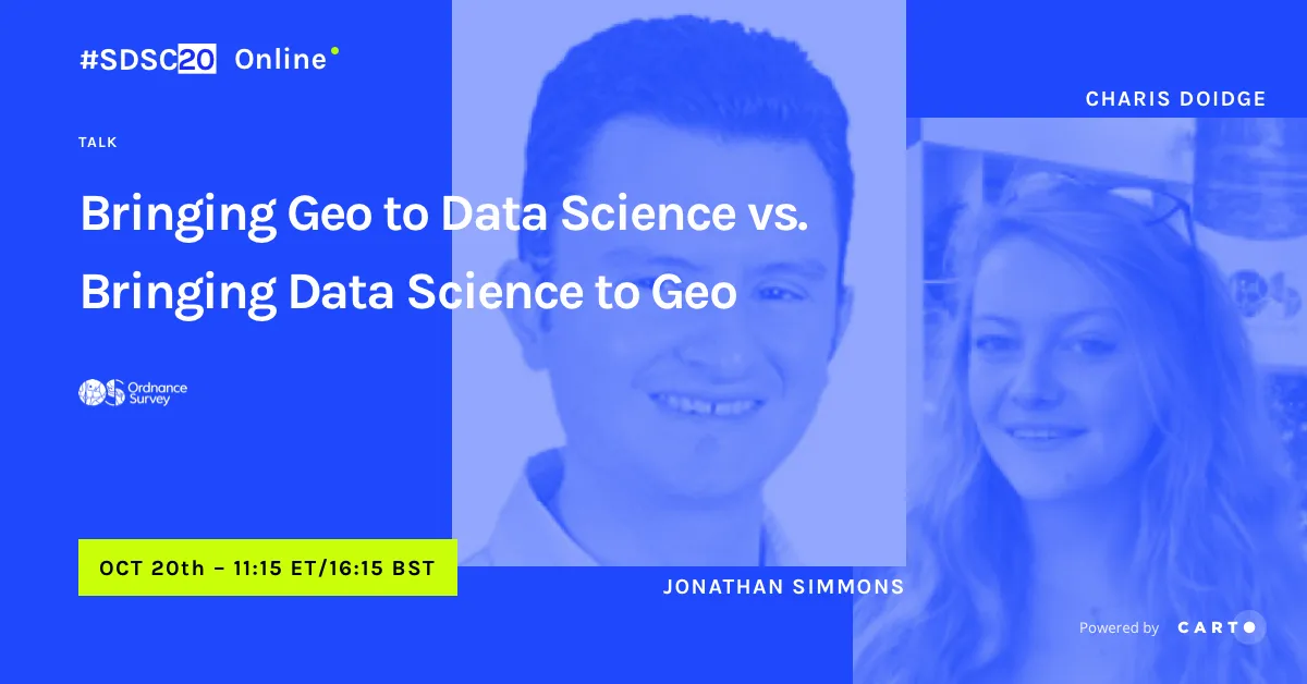
Talks
Worldview to Experian: Helping You Measure and Prioritise International Opportunities
by
James Wedge, Stéphane Martis
.png)
Using ML to Produce Spatial Statistics on Energy Efficiency in Housing
by
Dr Alistair Edwardes, Sonia Williams


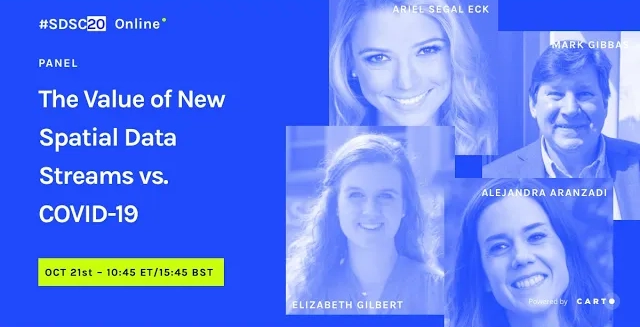
The Value of New Spatial Data Streams vs. COVID-19
by
Ariel Segal Eck, Mark Gibbas, Elizabeth Gilbert, Alejandra Aranzadi

.png)
Returning to the Great Outdoors: How Spatial Data Powers the Reimagination of OOH
by
Andy Stevens, Saso Bruzzese


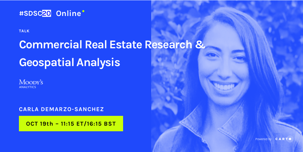
Commercial Real Estate Research & Geospatial Analysis
by
Carla DeMarzo-Sanchez, Lindsey Johnson, Jake Carr
Upcoming events
The Spatial Data Science Conference has been running since 2017. Our conferences and bootcamps have brought together thousands of people across the globe to discuss Spatial Data Science use cases, showcasing some of the best stories from a wide range of industries and countries.
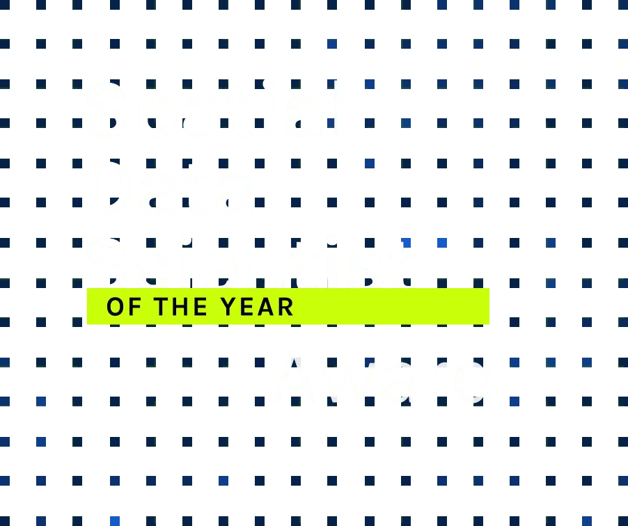
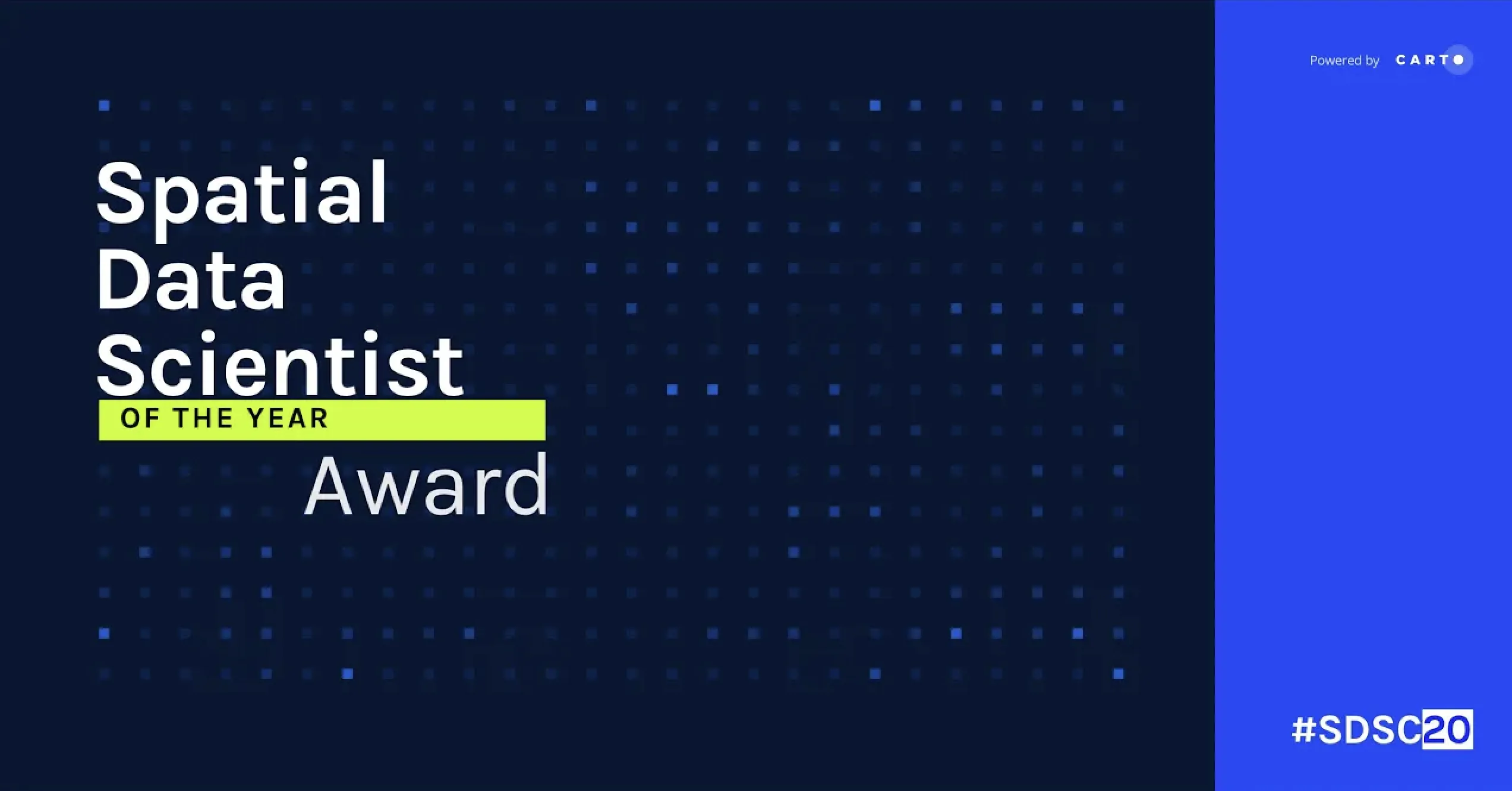
At #SDSC20, The Spatial Data Scientist of the Year Award was presented to - for his work to advance research in Spatial Data Science. You can read more about Dani and other shortlisted candidates on our blog .
Daniel arribas-bel

Sponsors
Platinum Sponsors
Gold Sponsors
Silver Sponsors

.png)

Academic Partners


Media partners
.png)