Spatial
Data
Science
Conference
2026
October 21
st
, 2026
New World Stages, New York
Technical workshops – October 20
th
Well& by Durst, New York

After bringing together 500+ experts last year, we're excited to welcome the global Data Science, Advanced Analytics, and Geospatial community back to New York City in 2026.
We'll explore the latest trends, innovations, and real-world applications shaping the future of location-based analytics across industries and tackle some of the most pressing spatial data topics.
Join us in NYC!
Speakers

Javier de la Torre


Mark Cavanaugh


Tyler Kappen

Anthony Bernard-Sasges

Gillian Mollod

David S. Jordan

Angela Ashe

Felipe Hoffa

Jorge Gonzalez

Miguel Alvarez Garcia
Agenda
Get to know the talks and topics
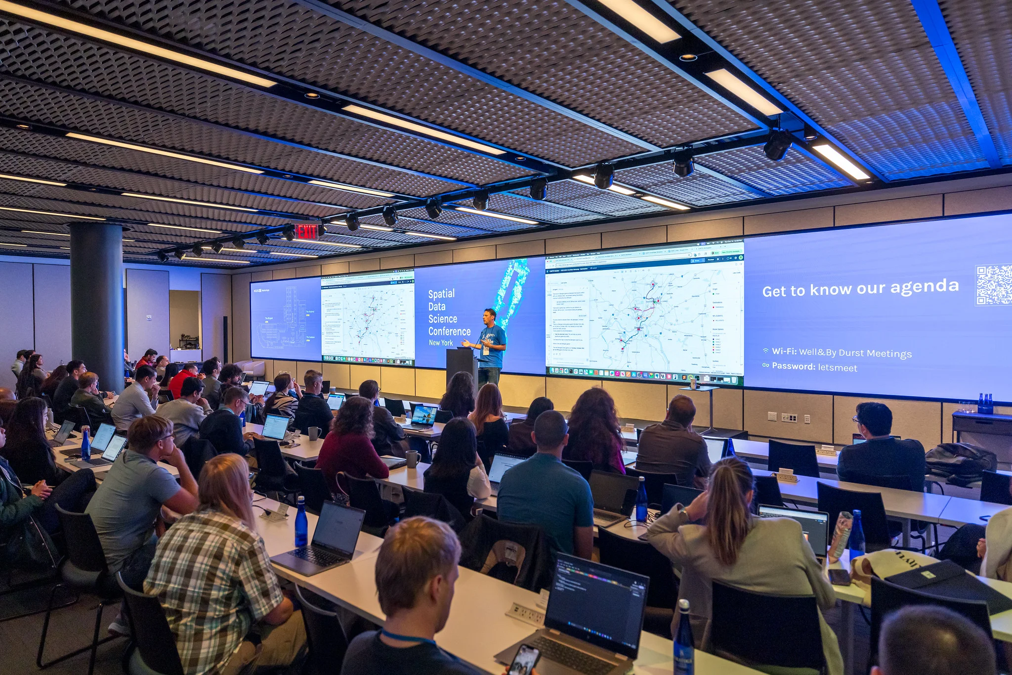
Past Workshops
Last year we hosted 12 hands-on workshops, covering everything from AI agents to geodemographics. Here's a taste of what we covered.
Creating Cutting-Edge Geodemographic Classifications from Scratch in Python
Build a bespoke geodemographic classification from UK census data using the Python data science stack. Source and prepare open data, select relevant variables, and cluster communities in ways tailored to specific needs. Explore how recent advances in machine learning and AI can help uncover hidden structure in the data.
.png)
.png)
Agentic GIS: Turning CARTO Workflows into MCP Tools
Learn how to turn CARTO Workflows into AI-powered tools that can be used by external AI systems. Leverage these tools through CARTO AI Agents to ask questions in natural language and solve complex spatial problems with agent-driven decisions.


Optimizing Supply Chains with Real-Time Spatial Analytics, Trajectories and GeoAI
Leverage Snowflake's Cortex AI and the CARTO platform to transform raw mobility data into actionable location intelligence for supply chain management. Combine enterprise-grade data with leading Location Intelligence capabilities to build a more intelligent, resilient, and optimized supply chain.


Transforming Public Sector Planning: Geospatial Analytics for Mobility and Infrastructure
A hands-on workshop with Deloitte & CARTO focused on leveraging geospatial analytics to perform advanced infrastructure & mobility planning. Centralize geospatial data, analyze mobility patterns to optimize infrastructure, and generate key insights to support strategic planning and maintenance.


Agent Marketplace: Applying Specialized CARTO Agents through Google Agentspace
Explore how CARTO use-case-focused AI agents are made available through Google Agentspace. Become familiar with acquiring a CARTO agent through the Google Cloud Marketplace, as well as building, utilizing, and extending an agent to fit ongoing business needs.

A Cloud-Native Approach to Finding Building Heights with LiDAR-Derived HRDEM
A modern, cloud-native approach leveraging Snowflake & Databricks combined with LiDAR-derived High-Resolution Digital Elevation Models. Efficiently store, query, and process large geospatial datasets to accurately calculate building heights at scale for telco, insurance, and urban planning.

This year's workshops are coming soon
This year, we are holding interactive workshops with industry specialists. If you're interested in attending this year's technical workshops, indicate your interest when registering for the conference.
Register Interest

New World Stages
Well& by Durst
Amenity, Events & Meeting Space

Diversity program
Having a diverse group present at #SDSC26 is a priority for us, and for that reason we are setting aside 30 tickets to ensure we attract attendees from groups who are typically underrepresented at Data Science or GIS events.
This includes but is not limited to: women, underrepresented backgrounds, people with disabilities and LGBTQ.
To apply for a ticket, please email us at
diversity@spatial-data-science-conference.com
sharing your motivations to attend the event and what makes you eligible for a diversity ticket.


.svg)
.svg)


.jpg)