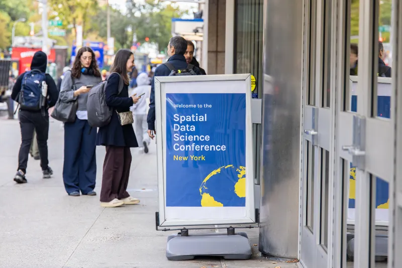
Spatial
Data
Science
Conference
2025
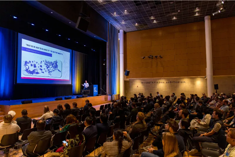
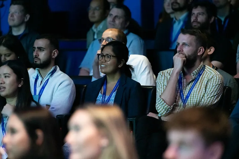
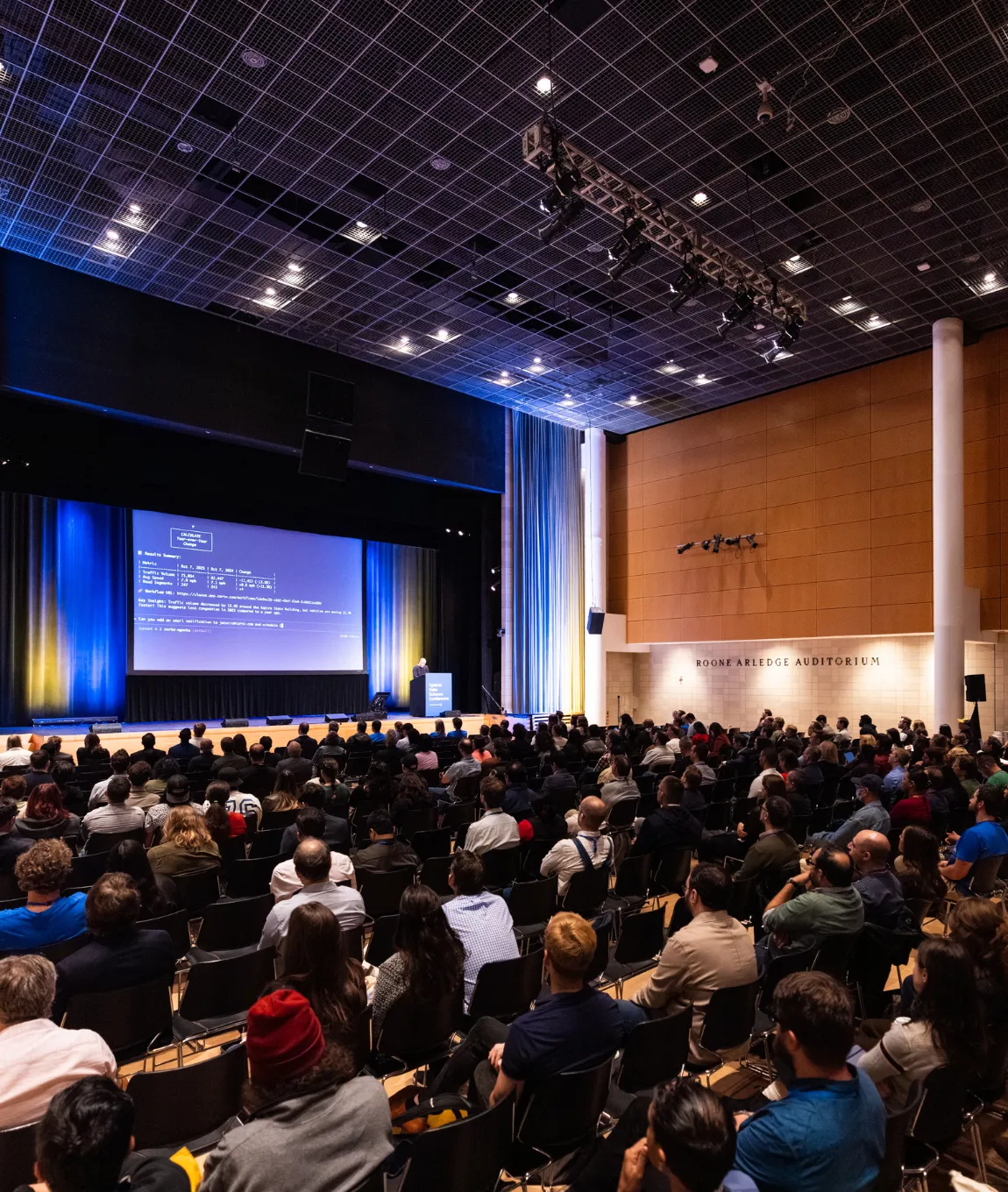
Main Conference on Wednesday, October 15
th
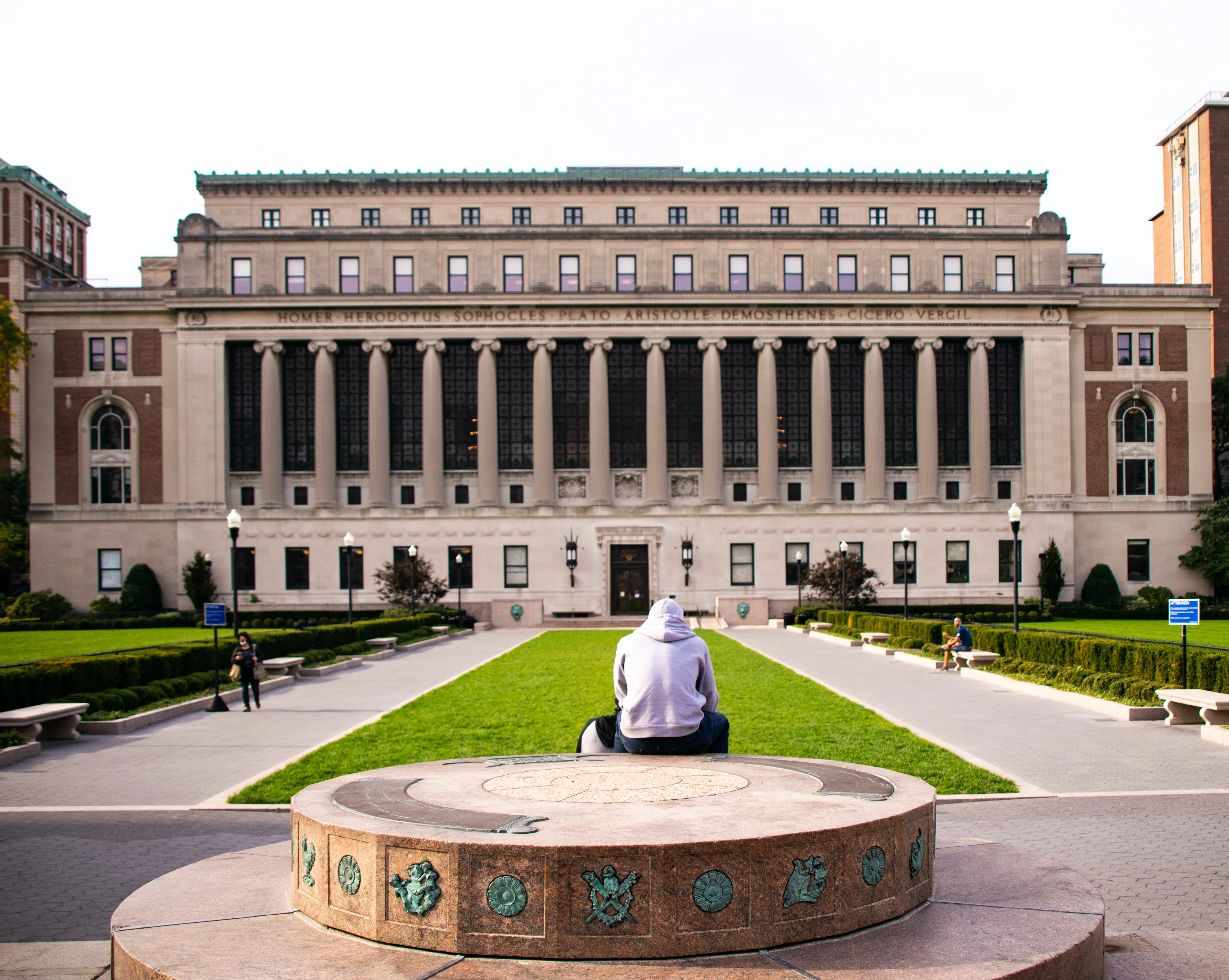
Columbia University, New York, US
Workshops on Tuesday, October 14
th
Well& by Durst, New York, US

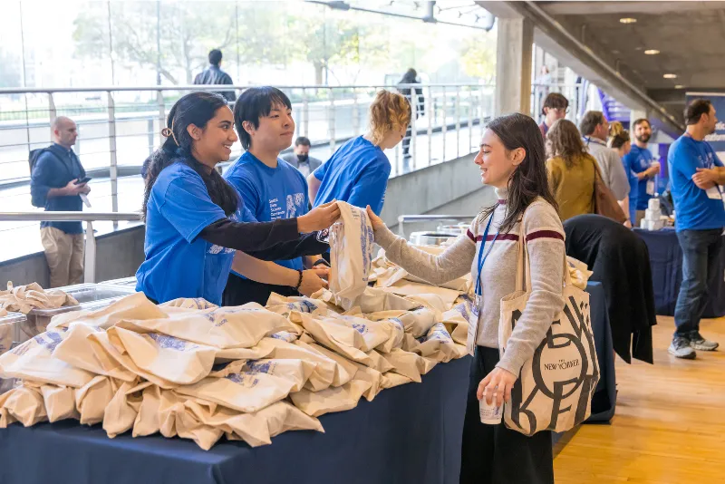
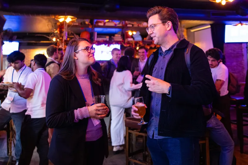
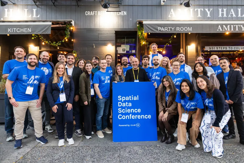
After bringing together 700+ experts last year, we're excited to welcome the global Data Science, Advanced Analytics, and Geospatial community back to New York City in 2025.
We’ll explore the latest trends, innovations, and real-world applications shaping the future of location-based analytics across industries and tackle some of the most pressing spatial data topics.
Join us in NYC!
Powered by
.svg)
Access the talks
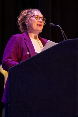
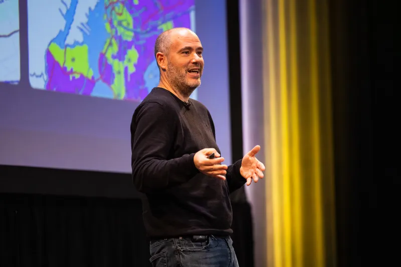
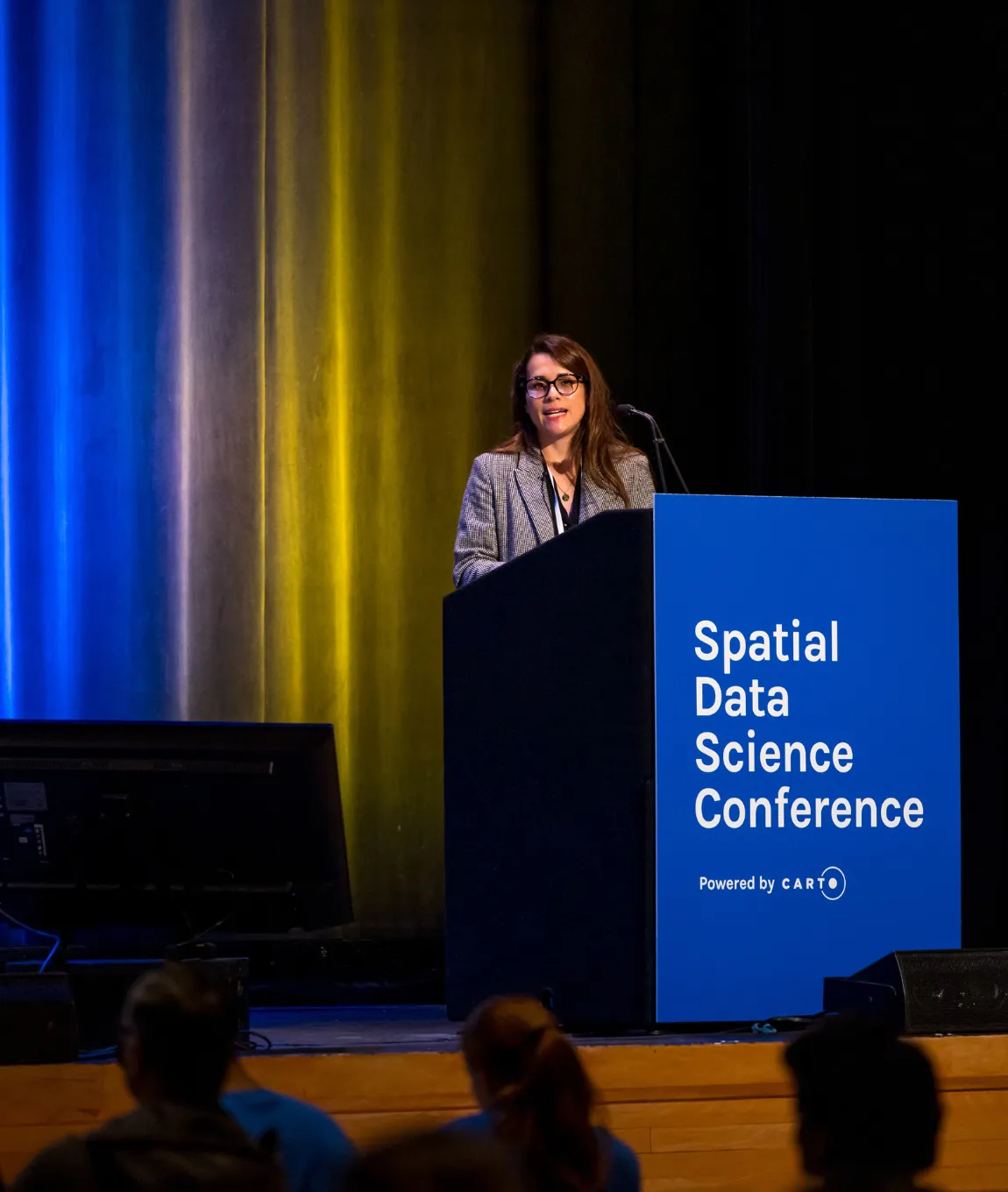
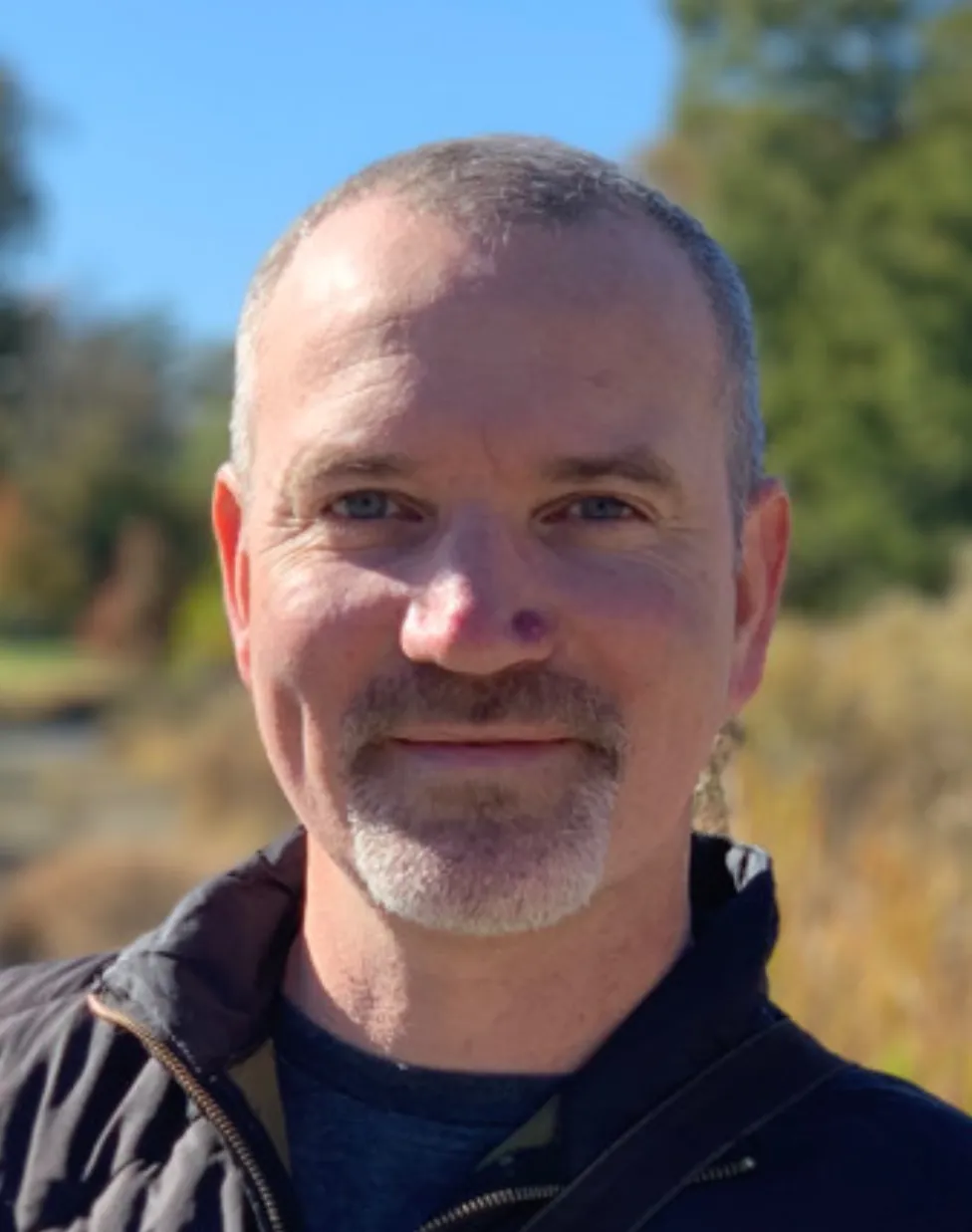
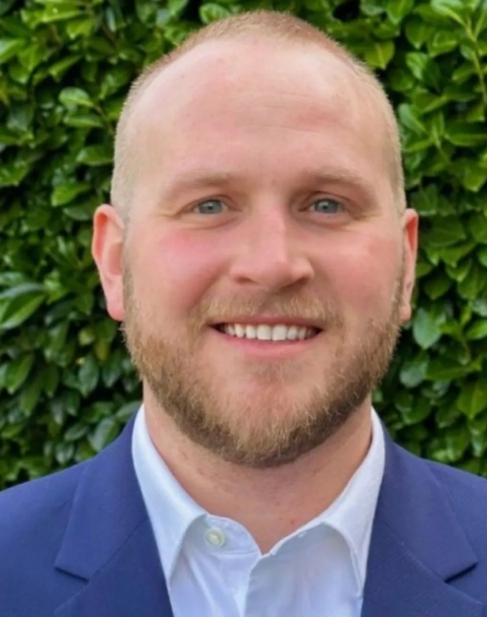
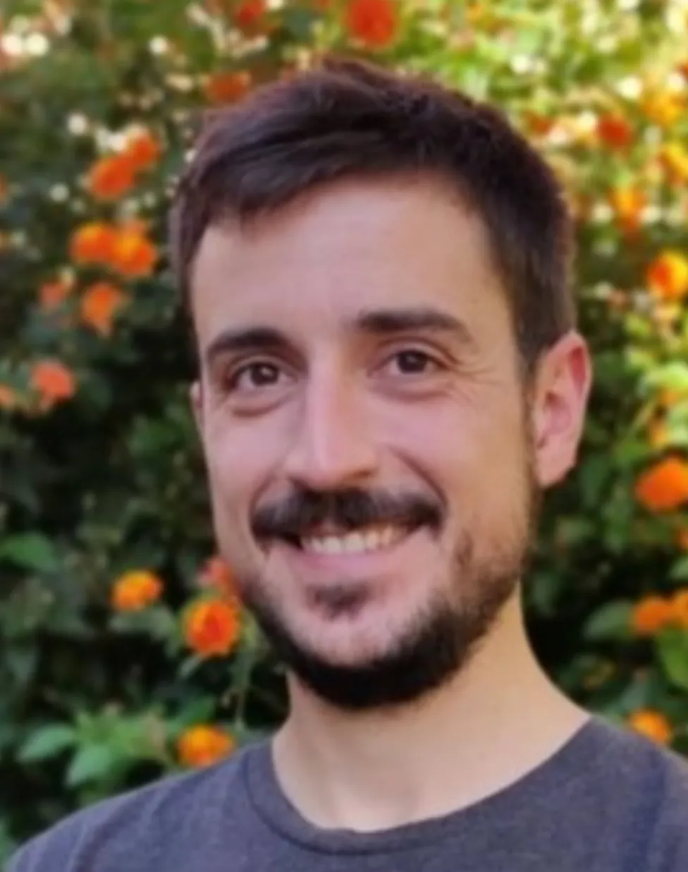
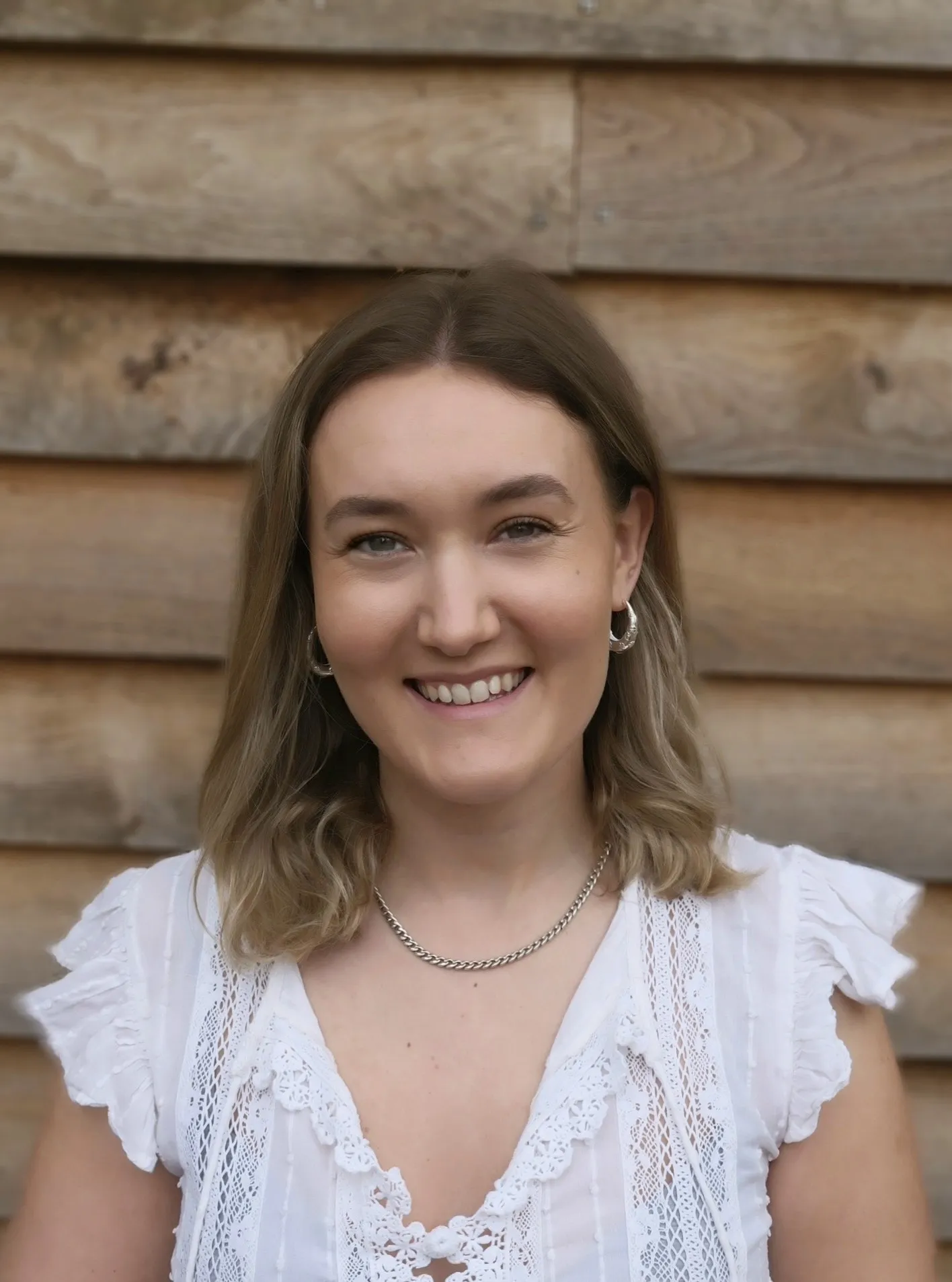
Speakers
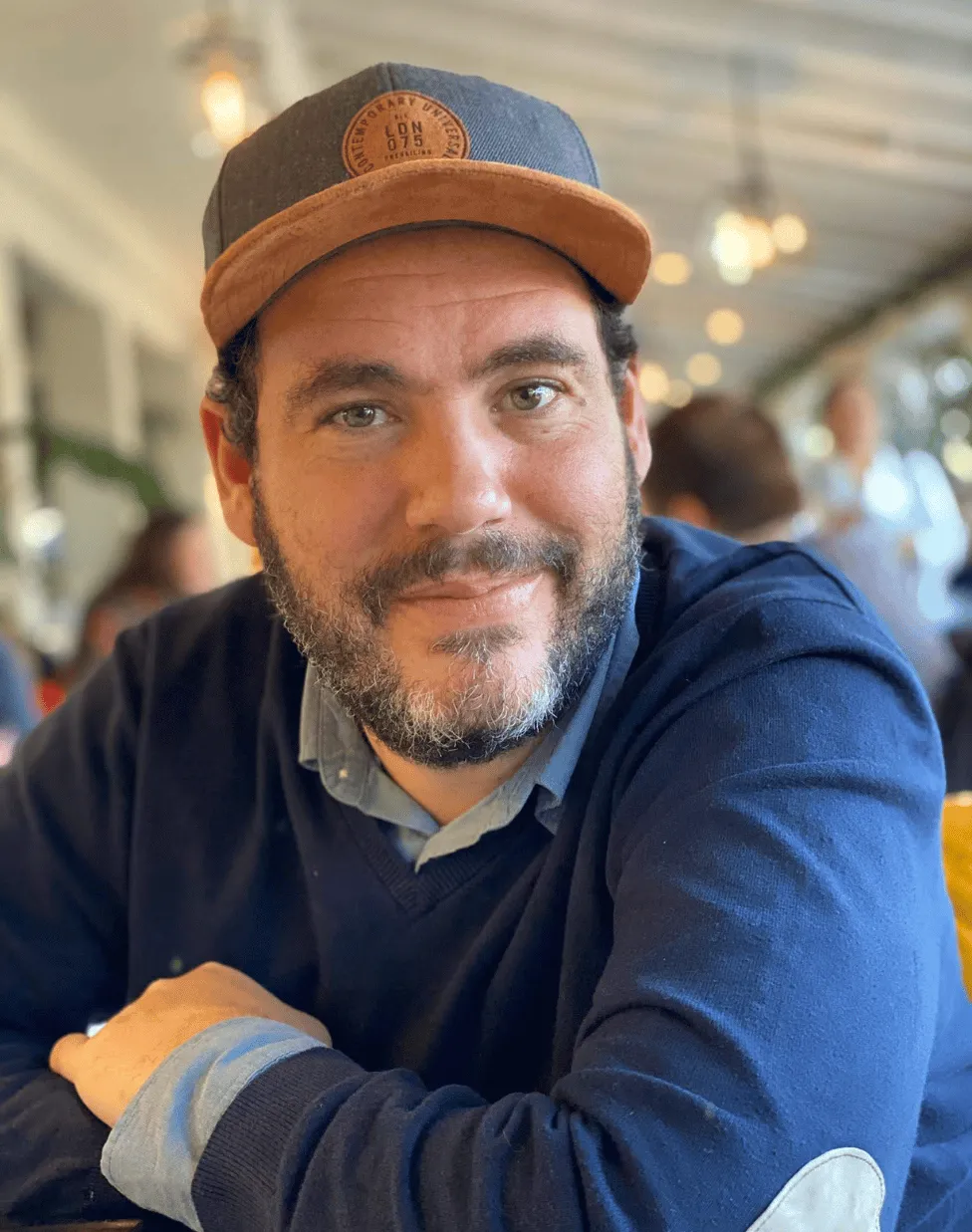
Javier de la Torre


Daisy Esqueda


Lukas Geiger
Sean Wohltman

Dr Joan LaRovere

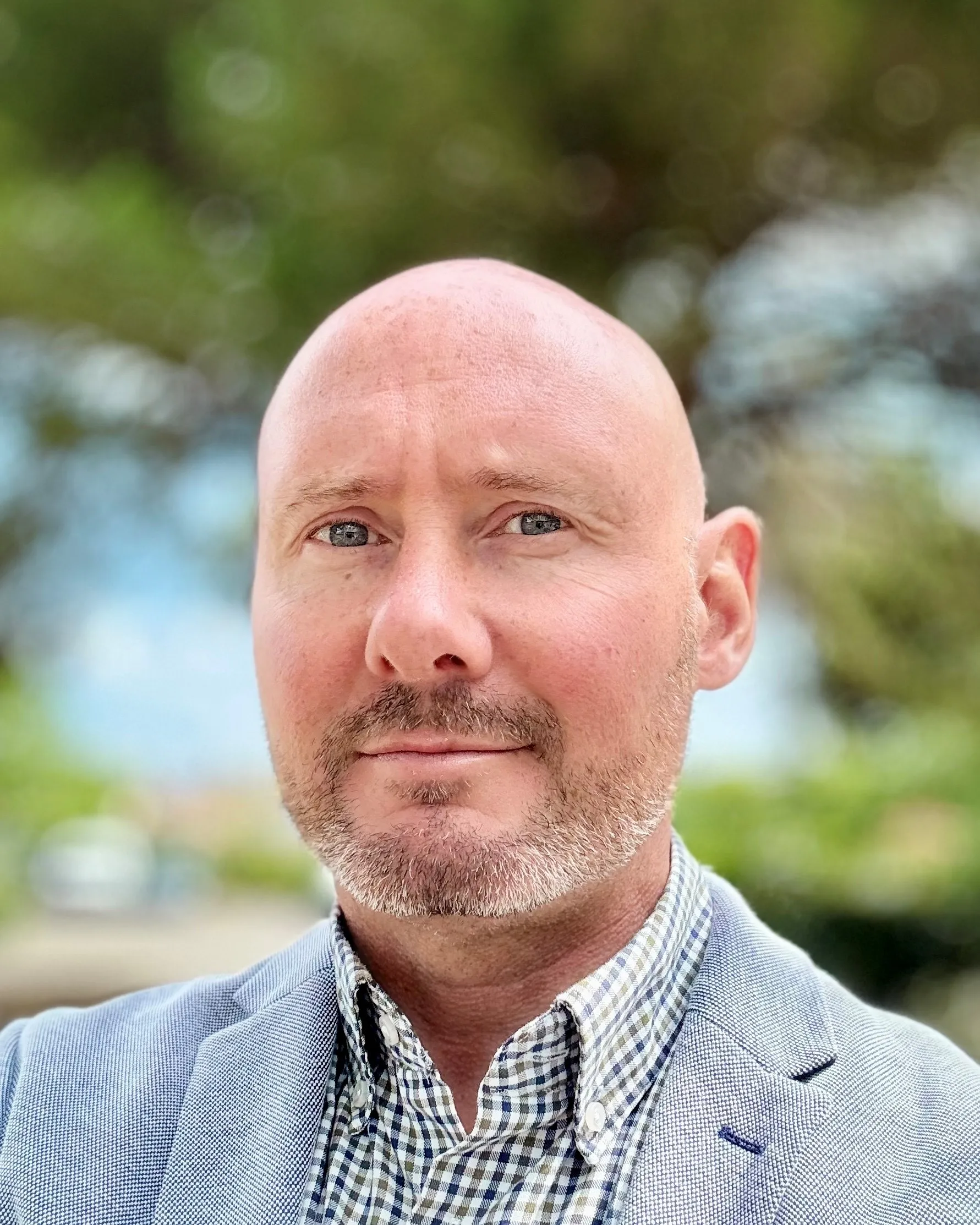
Keith Laba

Anindita Mahapatra
.png)

Drew Breunig

Hamish Gibbs

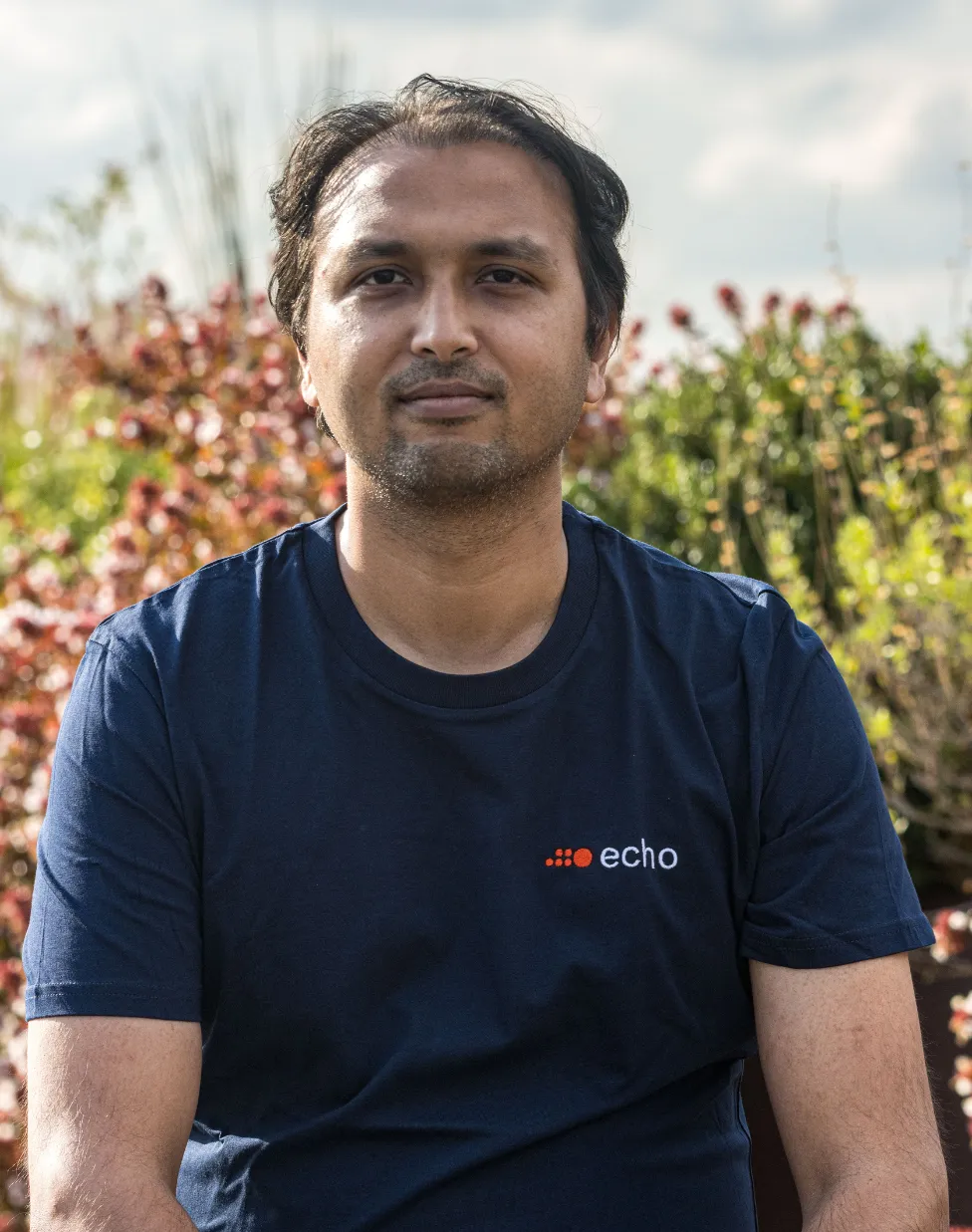
Arshad Nawaz

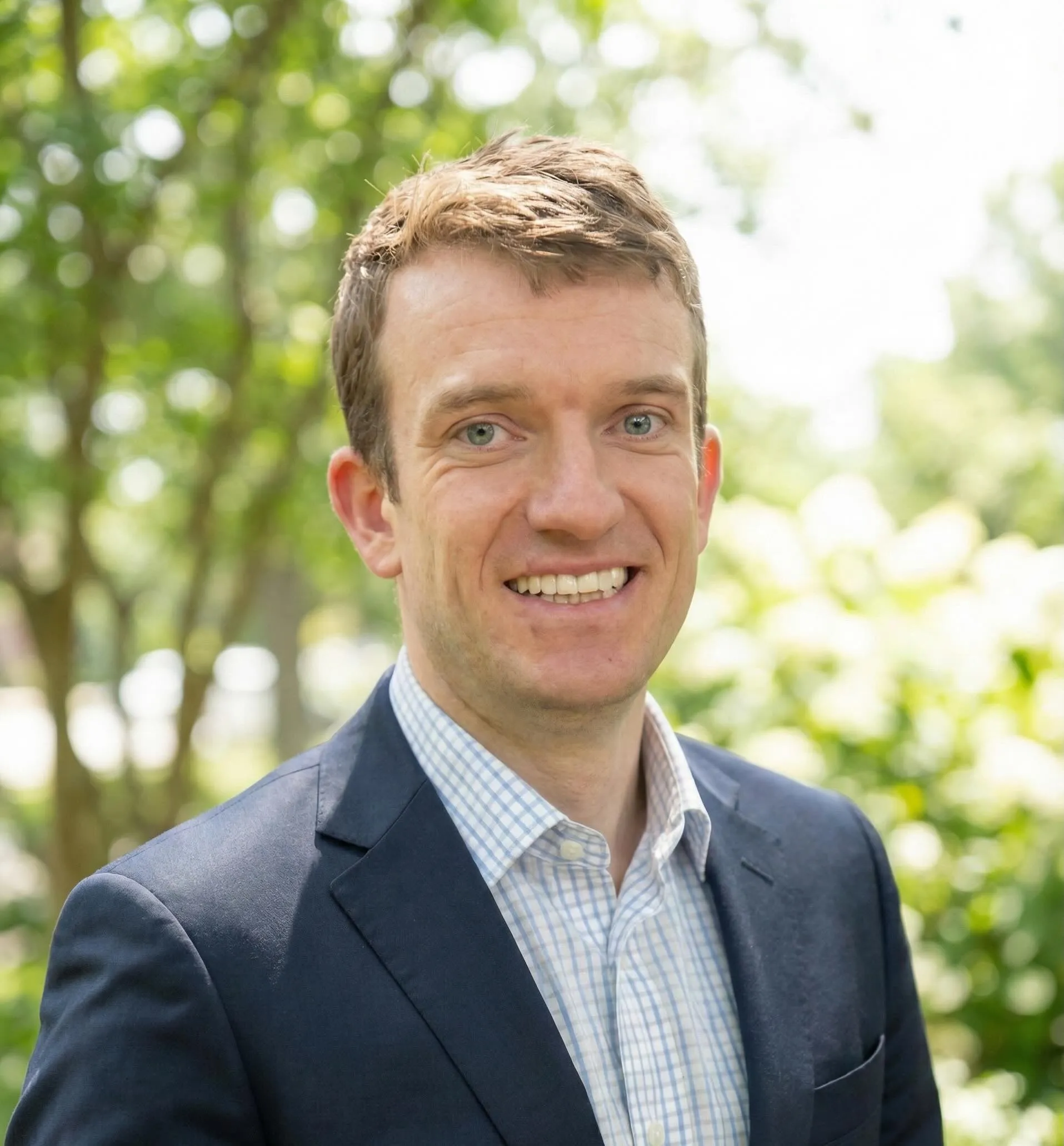
Matthew Baron

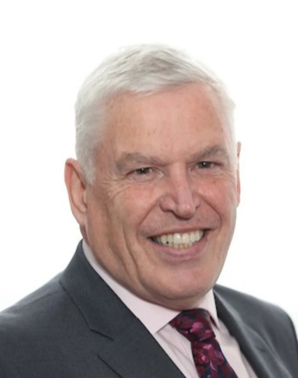
Antonio Tirri


Alex Singleton

.png)
Anant Dinamani


Danielle Gewurz

Yan Trudeau


Maud Marel
Lydia Martin

.png)


.png)


.png)

.png)


.png)


Workshops
This year, we are holding 12 interactive workshops with industry specialists.
If you're interested in attending this year's technical workshops, indicate your interest when registering for the conference.


Venues


See them in the map
Diversity program
Having a diverse group present at #SDSC25 is a priority for us, and for that reason we are setting aside 30 tickets to ensure we attract attendees from groups who are typically underrepresented at Data Science or GIS events.
This includes but is not limited to: women, underrepresented backgrounds, people with disabilities and LGBTQ.
To apply for a ticket, please email us at diversity@spatial-data-science-conference.com sharing your motivations to attend the event and what makes you eligible for a diversity ticket.
Sponsors
Platinum Sponsors
Gold Sponsors


Silver Sponsors
.svg)
.svg)


Bronze Sponsors
.png)